Districtr and Public Mapping
Too often, redistricting happens behind closed doors. To promote transparency and civic engagement, our Lab regards it as essential to put the tools of map-drawing into the hands of the public.
Since the release of the 2020 Decennial Census data, the MGGG Redistricting Lab has been working to support state and local governments and community organizations by creating 135 custom modules for public mapping on Districtr.org.
Public mapping is not just for Congressional districts – we’ve also built mapping modules for state legislatures, city councils, county supervisorial boards, public utility districts, and library trustee districts.
Recent highlights include…
- City council mapping in New York City, Elk Grove, CA, Albuquerque, NM, and Dallas, TX
- Statewide maps with population adjusted to correct prison gerrymandering in Montana, Virginia, and Maryland
- Portals to collect written testimony as well as districting plans and community of interest maps all around the country – San Diego got over 1,000 public feedback submissions and Michigan got over 7,600.
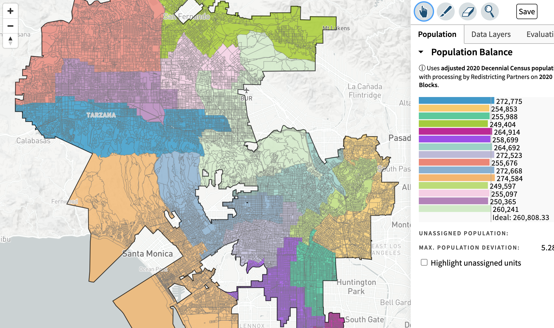
A user-submitted plan was the basis for the redistricting commission’s recommended map for Los Angeles City Council districts. (Then there’s a whole story about what happened next…. more on that in a future post!)
Districtr is in a continuous state of development, and as we think about the future of our mapping modules, we are gearing up to make it easier to request and create custom mapping modules for jurisdictions across the county. It’s an open-source project, so please let us know if you might want to pitch in by mailing contact@mggg.org